Aarhus GeoSoftware


Professional software solutions for processing, inversion and visualization of geophysical data.
Aarhus GeoSoftware develops processing, inversion and visualization software for ground based and airborne EM data and ERT/IP data.
Software packages:
Aarhus SPIA: For groundbased single TEM and VES soundings. Simple interface for easy processing and 1D inversions.
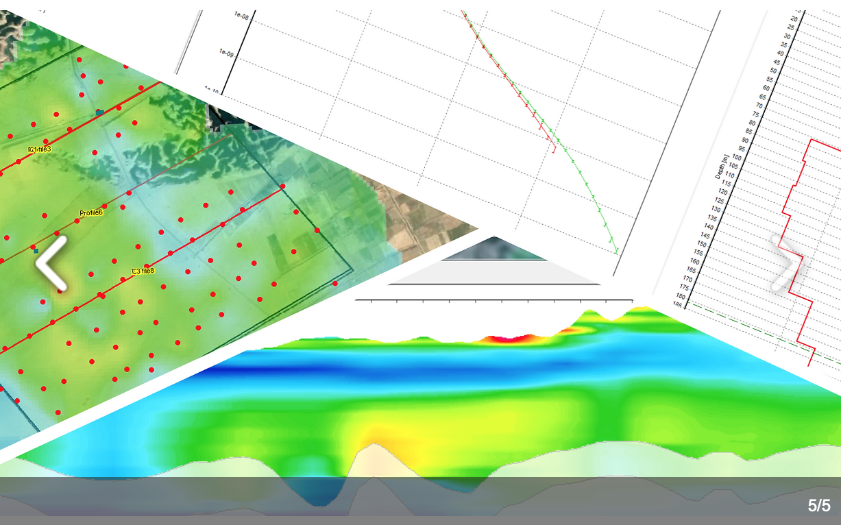
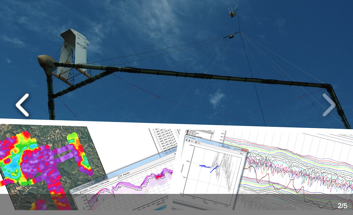
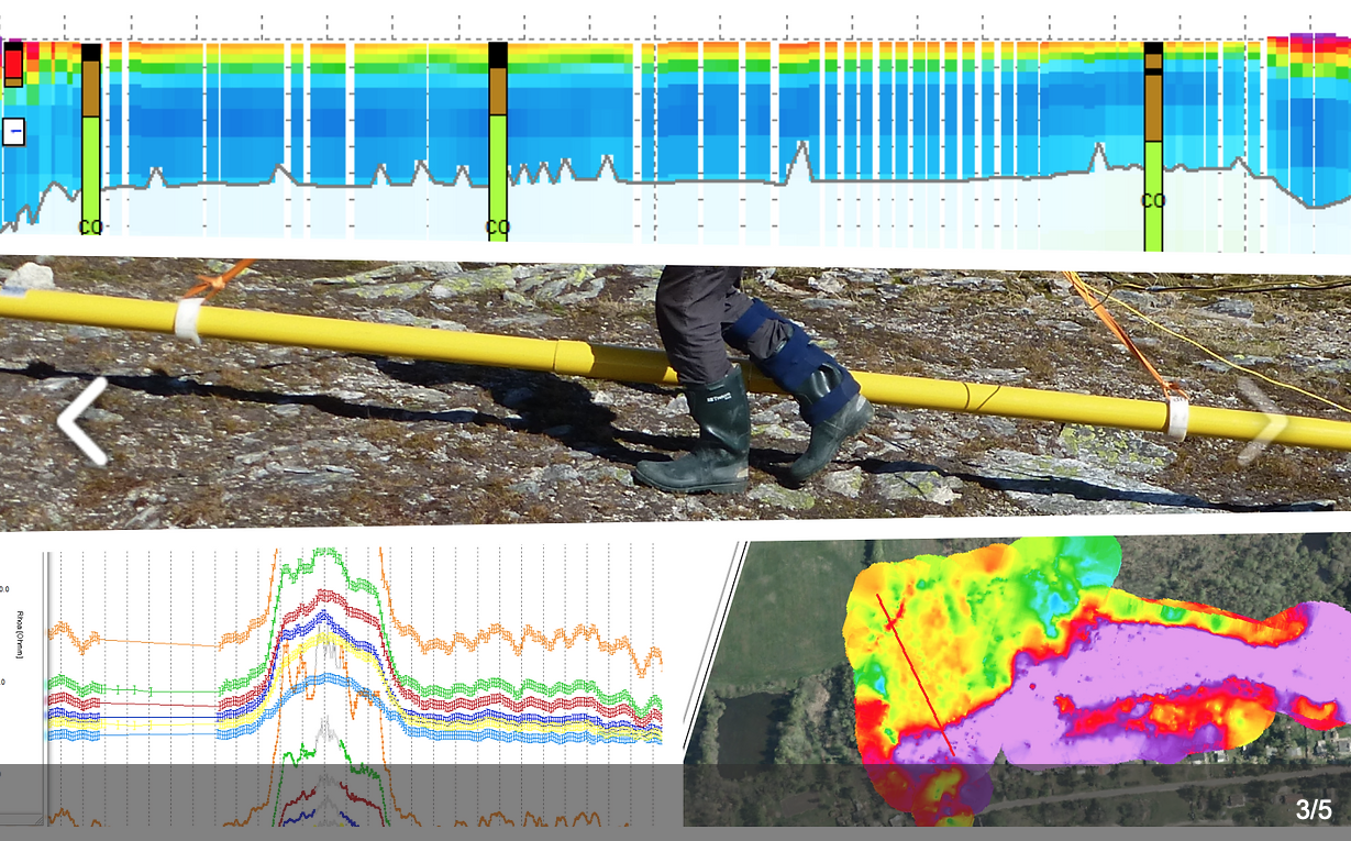
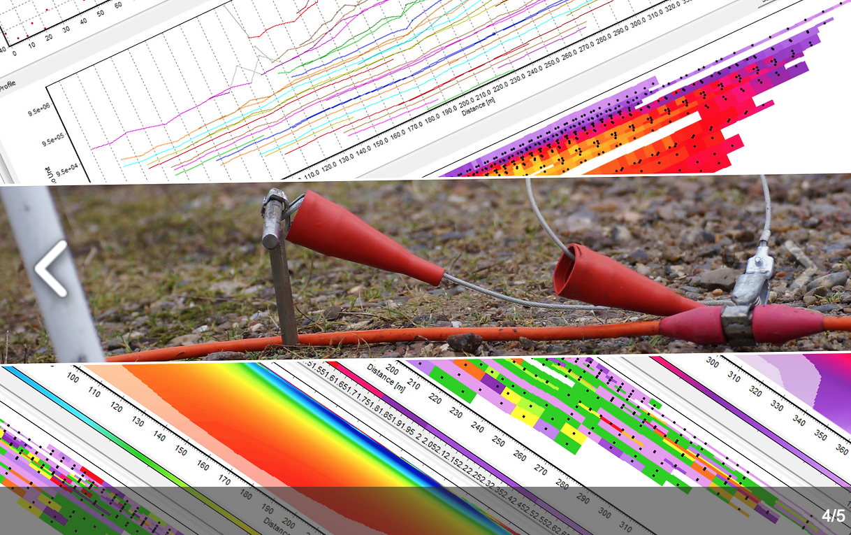
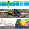
Aarhus Workbench: A software platform for airborne TEM and FEM data, groundbased towed TEM, ERT, FEM data and ERT/IP data.
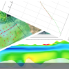
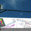
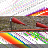
Aarhus Workbench is based around a GIS interface where the Essentials module includes visualization on GIS, sections, 3D viewer, PDF report creator, lithology and geophysical logs import, 3D gridder and more. On top of this users can add processing and inversion modules for specific data types. For TEM and ERT data, (besides our regular 1D/2D resistivity inversion) we can do Cole-Cole and Maximum Phase Angle full waveform inversion to model the Induced Polarization (IP) effects.
Geotomo Res2DInv & Res3DInv: The well-known software packages for processing and inversion of ERT/IP data.
Rating
Visits
270
Redirects
3